
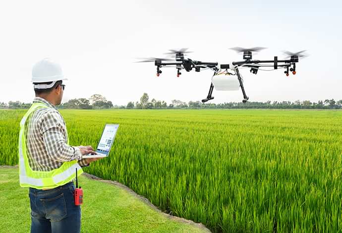
Agricultural Innovation with Unmanned Aerial Vehicles

Streamline property ownership records to simplify the land record verification process, increase transparency, and reduce property disputes.
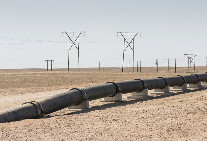
Monitor gas pipeline network for change detection using remote sensing data to replace or reduce the need for fortnightly helicopter surveys.
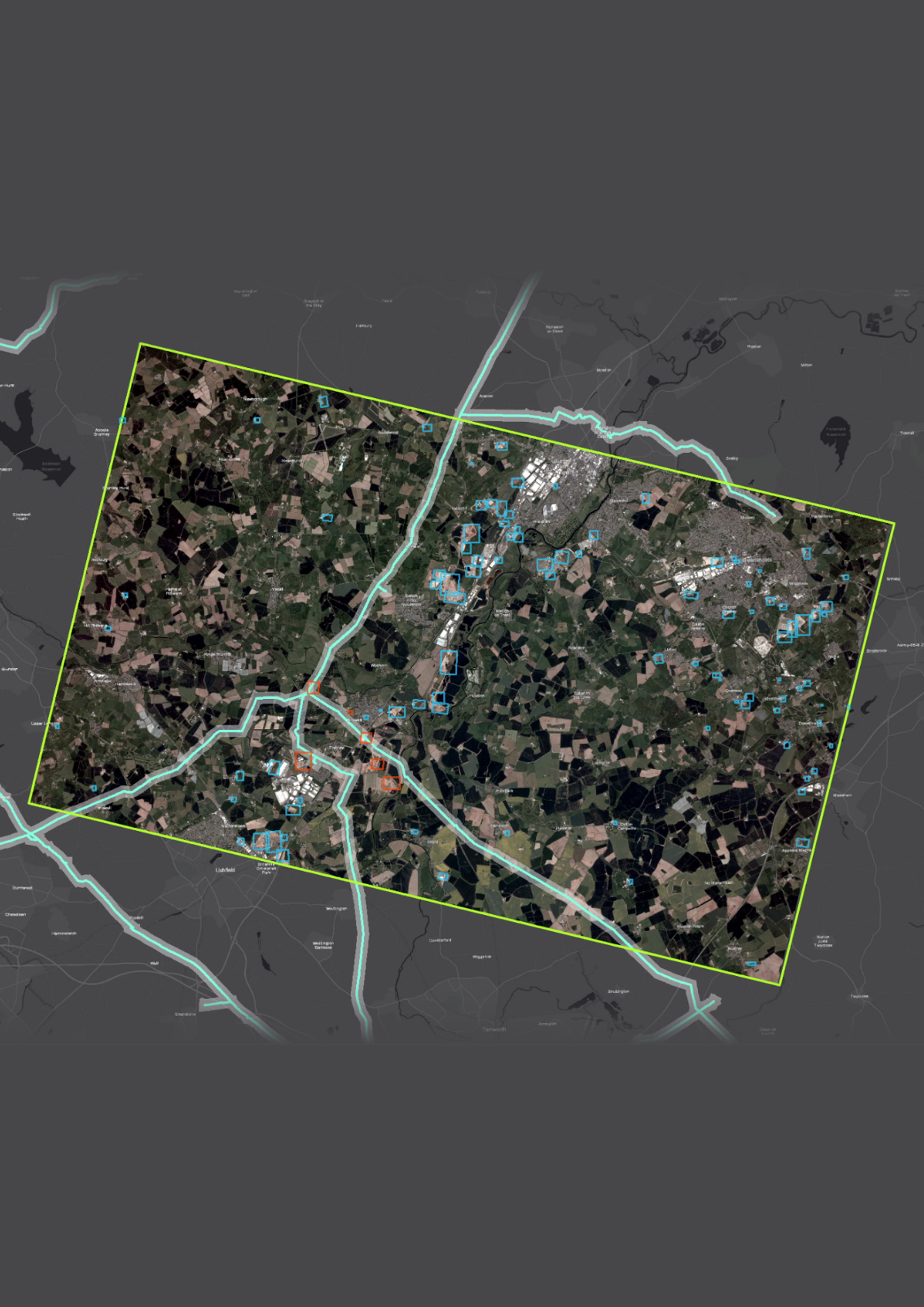
Maintain national mapping database that reflects the real-world change in topography and attribution.
Identify and spatially assign key assets required for 5G network design simulation.


GeoAI in Monitoring Oil and Gas Pipelines
Location Intelligence - Key To Sustainable Development
Revamping Agriculture with Geospatial Services
Building Resilient and Sustainable Cities
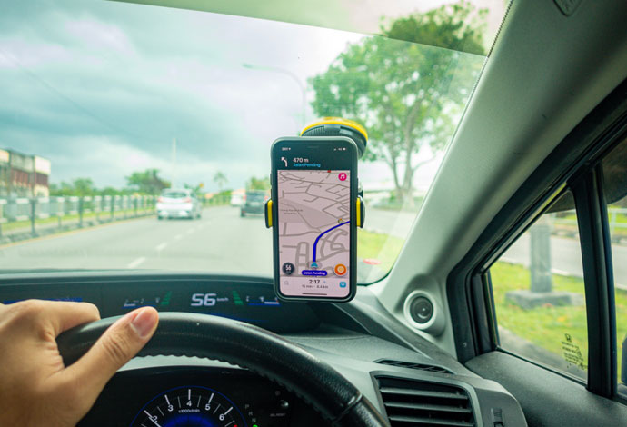
Reduce Road Maintenance Costs and Improve Drivability and Safety
.png)