Urban infrastructure is not only about buildings, towers, bridges, roads, and other visible structures that make up a city’s landscape. It also includes a system of underground pipe works, cabling, ducts, and conduits. Insufficient data on the precise location of these assets is a leading cause of asset damage, service disruption, and rising cost for stakeholders.

Cyient offers tailored underground mapping solutions to help utilities, municipalities, oil and gas, and other infrastructure planners gauge the precise depth and configurations of buried assets before they start excavation. Our solutions enable organizations to minimize the damage to assets, project delays, costs, and complexities of subsurface works.

Cyient works closely with its clients to understand and use appropriate technologies and techniques to provide a cost-effective solution to address their actual needs in underground mapping. Our experienced team of geospatial engineers captures, interprets, and digitizes precise information on water mains, sewage pipes, telephone cables, power lines, gas supply channels, and oil pipelines.

geo-l2-og-CTA-Call-out

Monitor underground gas pipelines from space

How did we help a leading European gas distribution company seamlessly monitor their pipeline network for damage from construction activity?

By leveraging regularly captured satellite data and combining it with machine learning and human surveillance activities, we developed a solution that alerted possible risks to the underground pipeline.

Our Offerings

From consulting and data acquisition to delivering analysis and handling decision authority systems, Cyient offers a full spectrum of services critical for working with buried resources. We also help in geo-referencing and digitization of existing maps, extracting all relevant structure details with accurate geometry. 

Consulting-Approach

Consulting Approach

Understand customer pain points, help them understand their needs, and identify how different technologies can support their underlying business requirements.

Data-Acquisition

Data Acquisition

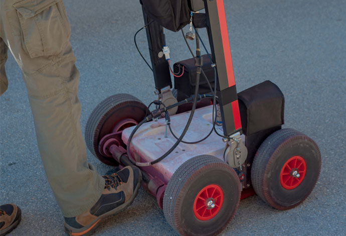
Use various technologies and techniques to capture a range of features of underground assets and infrastructure with a high level of accuracy.

Data-mapping-and-Analysis-

Data Mapping and Analysis

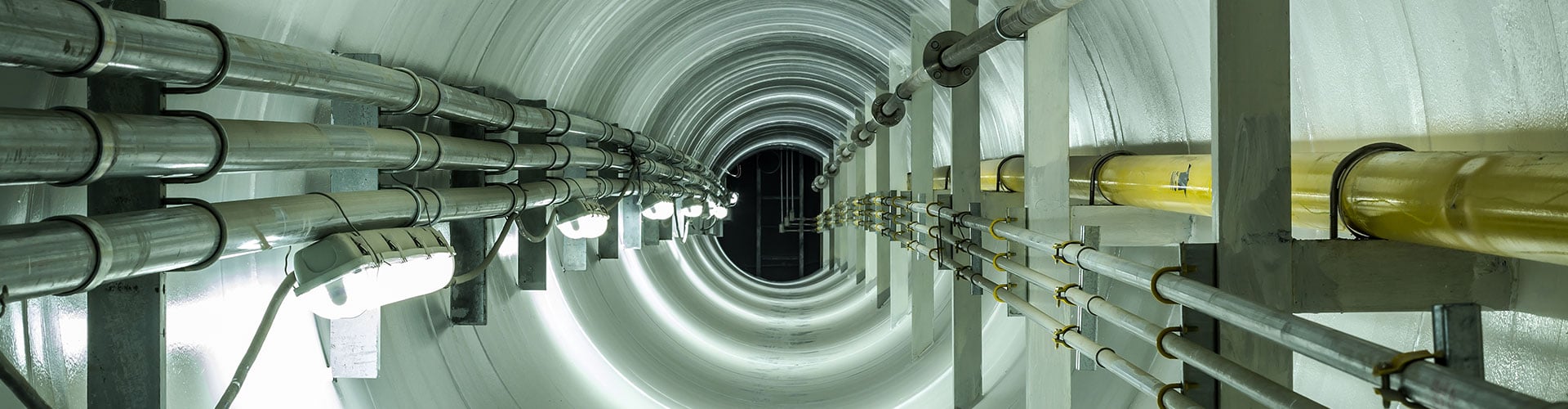
Leverage advanced tools to reflect the precise location of underground infrastructure with the level of accuracy that we expect above ground.

Decision-Support-System

Decision Support System

Improve visualization and informed decision-making while minimizing asset damage, project delays, and costs and complexities of subsurface works.

Consulting Approach

Data Acquisition

Data Mapping and Analysis

Decision Support System

Talk to Us

Find out more about how you can maximize impact through our services and solutions.*

*Suppliers, job seekers, or alumni, please use the appropriate form.