Improved citzen services with accurate map data | Cyient
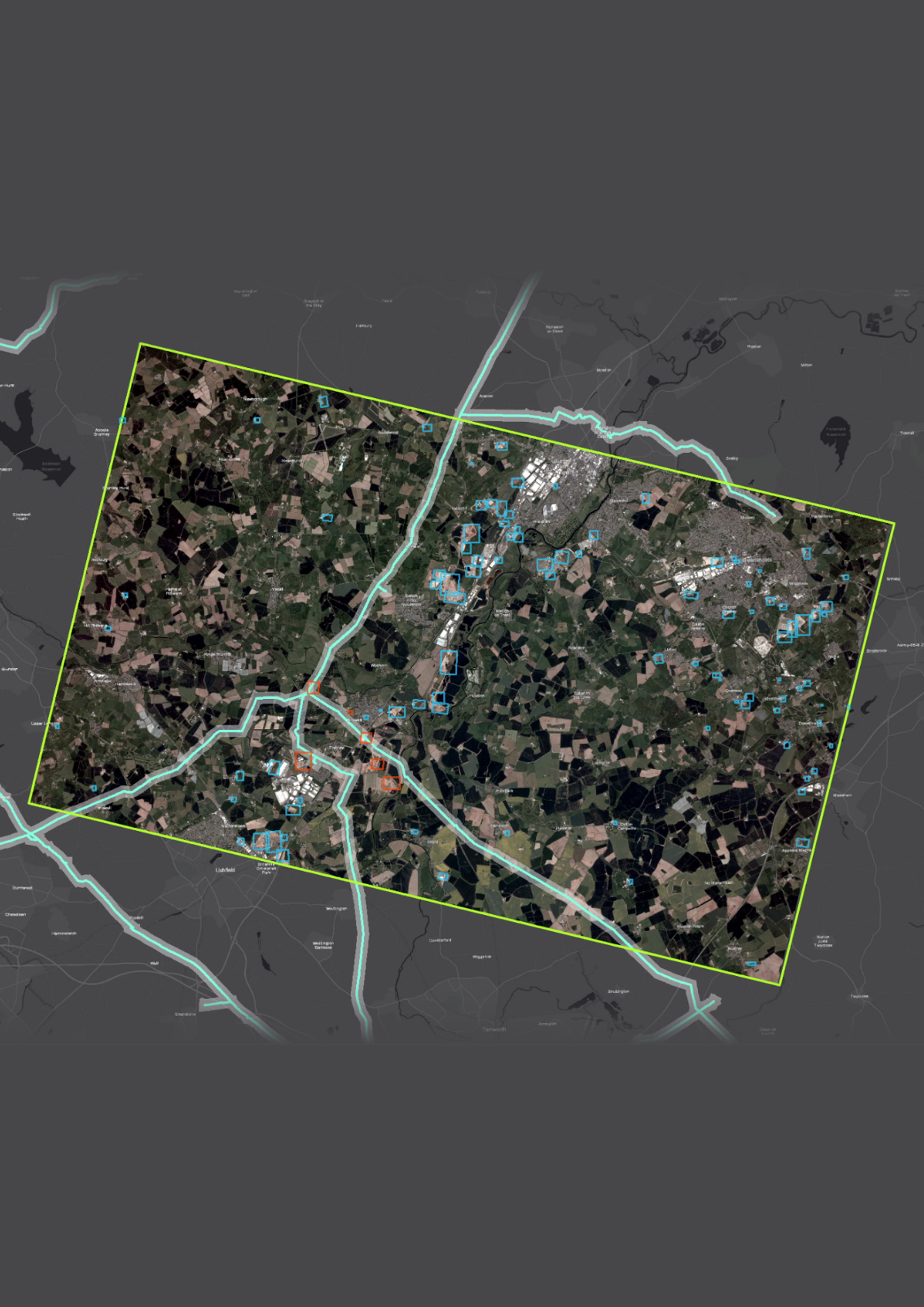
Captured, updated, and maintained real-world changes in topographic, address information, address network, and land use data. The customer benefitted from reduced planning and design time and improved land base management for individual users, councils, and departments. Author


.png)