.png?width=774&height=812&name=Master%20final%201%20(1).png)


.jpg?width=1680&height=800&name=Frame%20905%20(14).jpg)
.jpg)


Transforming Industries with Intelligent
Geospatial Solutions
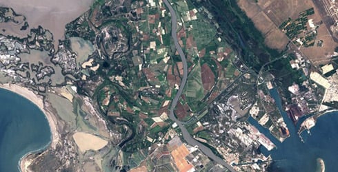
Remote Sensing
Cyient's Earth Observation services deliver actionable insights using advanced satellite and remote sensing technologies for improved decision-making.
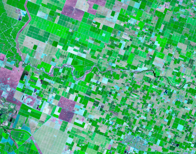
Image Processing & Analysis
We process multispectral, hyperspectral, and SAR images for environmental, urban, and disaster applications.
3D Modeling
Cyient develops 3D GIS models and digital twins for enhanced asset and infrastructure management.
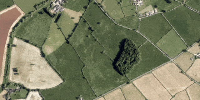
Photogrammetry
Cyient provides accurate topographic and 3D models for base map updates.
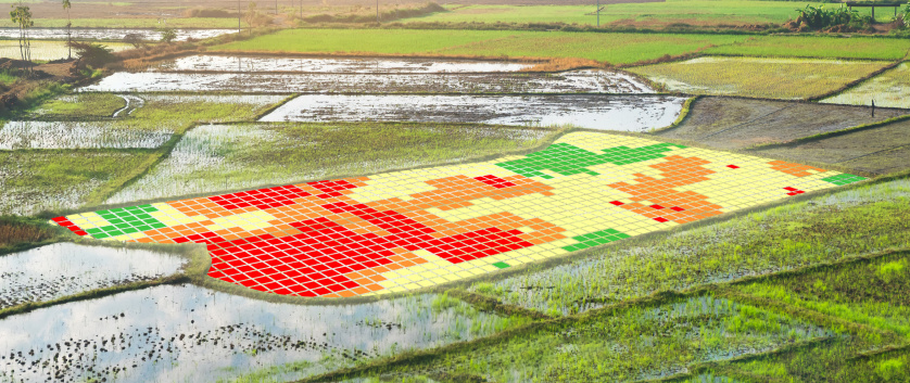
Change Detection
We enable agricultural land use assessments for subsidy compliance.
GeoAI
Our AI/ML solutions automate feature extraction and spatial analysis.
Advanced Mapping
Cyient offers advanced mapping solutions with LiDAR, remote sensing, HD mapping, 3D models for autonomous vehicles, and asset/agriculture mapping to boost decision-making and efficiency.

Large-Scale Mapping
AI-driven mapping using satellite images to extract features.
LiDAR Processing
LiDAR data acquisition, processing, and feature extraction.
3D Modelling
3D GIS and digital twin creation for assets and infrastructure.
Digital Infra
Spatial data integration for smarter transportation systems.
HD Maps
Detailed road geometry, lane details, and 3D models.
Location Intelligence
Cyient provides location intelligence services using geospatial data, GIS, machine learning, and cloud computing to offer real-time, scalable insights for better decision-making.

Address Data Creation
Expert in address database creation, reverse geocoding, and app development for navigation and G2C businesses.
Annotation & Labeling
CyVision enables fast data training with object detection, annotation, and labeling.
Environmental Monitoring
IoT solution tracks harmful gas emissions and visualizes them on GIS maps for decision-making.
Location Analytics
Road Health Analytics provides real-time condition mapping, insights for repairs, and monitoring.
Location-Based Services
Mobile apps for field crews and mobile GIS for asset management in utilities.
Cyient IoT Hub
Platform to connect, monitor, and manage IoT devices and data.
GenAI / Hyper Automation
Cyient’s GenAI and Hyper Automation solutions drive productivity and innovation using AI, ML, and automation across industries like energy, utilities, and rail with specialized solutions like PLM, MBSE, and RPA.

Data Creation
Supporting industries with spatial data, technical documentation, and digital transformation.
CyText
AI-based solution for extracting data from scanned documents with a user-friendly interface.
Data Enrichment
Enhancing datasets with context-specific information to improve data quality and LLM/RAG performance.
QA/QC Services
Ensuring data quality and reliability for generative AI applications with spatial and non-spatial data.
Digitalization
Transformative GenAI-based solutions for data digitalization.
CyExtract
AI-driven data extraction from various sources with an intuitive interface.
GenAI / RPA / Hyper Automation
Automating and optimizing customer operations across domains with advanced technologies.
GIS Customization & Integration
Cyient provides GIS visualization services that transform complex geospatial data into actionable insights for industries like utilities, telecom, energy, transportation, and natural resources.

GIS Customization & Visualization
Tailored GIS apps to enhance spatial data understanding.
Application Maintenance & Support
Ongoing GIS app maintenance to ensure efficiency and user satisfaction.
GIS Integration
Combining spatial data from multiple sources for improved decision-making.
GIS Dashboards
Interactive dashboards for visualizing geographic data, trends, and decision-making.
Cyient's Earth Observation services deliver actionable insights using advanced satellite and remote sensing technologies for improved decision-making.
Image Processing & Analysis
We process multispectral, hyperspectral, and SAR images for environmental, urban, and disaster applications.
3D Modeling
Cyient develops 3D GIS models and digital twins for enhanced asset and infrastructure management.
Photogrammetry
Cyient provides accurate topographic and 3D models for base map updates.
Change Detection
We enable agricultural land use assessments for subsidy compliance.
GeoAI
Our AI/ML solutions automate feature extraction and spatial analysis.
Cyient offers advanced mapping solutions with LiDAR, remote sensing, HD mapping, 3D models for autonomous vehicles, and asset/agriculture mapping to boost decision-making and efficiency.
Large-Scale Mapping
AI-driven mapping using satellite images to extract features.
LiDAR Processing
LiDAR data acquisition, processing, and feature extraction.
3D Modelling
3D GIS and digital twin creation for assets and infrastructure.
Digital Infra
Spatial data integration for smarter transportation systems.
HD Maps
Detailed road geometry, lane details, and 3D models.
Cyient provides location intelligence services using geospatial data, GIS, machine learning, and cloud computing to offer real-time, scalable insights for better decision-making.
Address Data Creation
Expert in address database creation, reverse geocoding, and app development for navigation and G2C businesses.
Annotation & Labeling
CyVision enables fast data training with object detection, annotation, and labeling.
Environmental Monitoring
IoT solution tracks harmful gas emissions and visualizes them on GIS maps for decision-making.
Location Analytics
Road Health Analytics provides real-time condition mapping, insights for repairs, and monitoring.
Location-Based Services
Mobile apps for field crews and mobile GIS for asset management in utilities.
Cyient IoT Hub
Platform to connect, monitor, and manage IoT devices and data.
Cyient’s GenAI and Hyper Automation solutions drive productivity and innovation using AI, ML, and automation across industries like energy, utilities, and rail with specialized solutions like PLM, MBSE, and RPA.
Data Creation
Supporting industries with spatial data, technical documentation, and digital transformation.
CyText
AI-based solution for extracting data from scanned documents with a user-friendly interface.
Data Enrichment
Enhancing datasets with context-specific information to improve data quality and LLM/RAG performance.
QA/QC Services
Ensuring data quality and reliability for generative AI applications with spatial and non-spatial data.
Digitalization
Transformative GenAI-based solutions for data digitalization.
CyExtract
AI-driven data extraction from various sources with an intuitive interface.
GenAI / RPA / Hyper Automation
Automating and optimizing customer operations across domains with advanced technologies.
Cyient provides GIS visualization services that transform complex geospatial data into actionable insights for industries like utilities, telecom, energy, transportation, and natural resources.
GIS Customization & Visualization
Tailored GIS apps to enhance spatial data understanding.
Application Maintenance & Support
Ongoing GIS app maintenance to ensure efficiency and user satisfaction.
GIS Integration
Combining spatial data from multiple sources for improved decision-making.
GIS Dashboards
Interactive dashboards for visualizing geographic data, trends, and decision-making.
Intelligent Service Frameworks
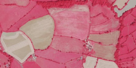
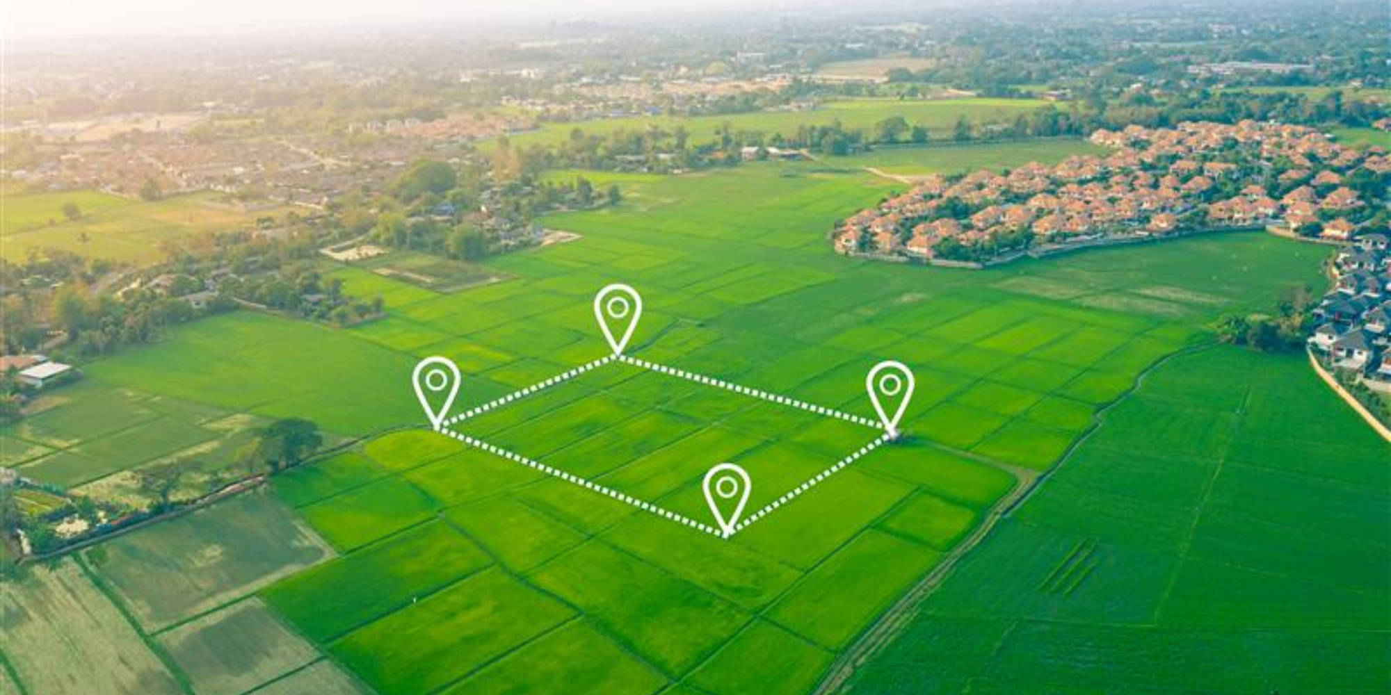
See your land smarter with AI-driven spatial intelligence
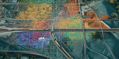
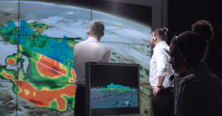
Reimagine urban living with intelligent, connected, sustainable cities
Cyient’s LandSENS framework combines GeoAI-powered mapping, deep learning, and large-scale survey expertise to transform land monitoring and management. From automated feature extraction and change detection to national-scale ecological insights, LandSENS helps governments and enterprises make faster, data-driven decisions for a more sustainable future.

From 3D Smart City Platforms and spatial digital twins to road health analytics and emergency-response modeling, Cyient helps urban leaders modernize governance and maximize sustainability. Make informed decisions, enhance citizen experience, and shape resilient cities with data you can trust.
In the Spotlight

Vegetation Management for SCE, USA

Satellite-Based Pipeline Monitoring for Cadent Gas, UK

5G Inventory Planning for Telus, Canada

Sketch2GIS for Vitens, Netherlands
Key Partnerships
%20(1).webp?width=328&height=304&name=Frame%20111%20(2)%20(1).webp)
Offerings across Industries
Government
Utilities & Energy
Mining
Rail
Aero
Telecom
Agriculture
Automotive

- • Largescale mapping
- • Digitalization of land records
- • Emergency services
- • Environmental monitoring
- • Smart Cities

- • Pipeline Monitoring
- • Mid & downstream applications
- • Energy data capture
- • Well data capture
- • Land lease management

- • Infrastructure mapping
- • Stockpile calculation
- • Drone survey
- • Logistics optimization

- • Infrastructure mapping
- • Landlease Management

- • Airport mapping
- • Obstacle mapping

- • Coverage area mapping
- • Service qualification
- • Drone survey
- • Mapping & change detection
- • Crop monitoring and analysis

- • HD mapping
- • Annotation & Labelling
Insights
Video
.png)
Strengthen Infrastructure Safety from Response to Readiness with Geospatial Intelligence
Flyer

Move from Maps to Decisions with AI-Augmented Spatial Intelligence
Flyer

Turn Imagery into Operational Advantage for Infrastructure Resilience
Flyer

Make Digital Twins Work Across the Infrastructure Lifecycle
Flyer

Build Trusted Geospatial Foundations for Modern Enterprise Operations
Flyer

Transform Hospital Operations with Indoor Intelligence and Real-Time Visibility
Flyer
.png)
Strengthen K-12 Safety from Response to Readiness with Indoor Intelligence
Whitepaper

Operationalizing NDVI for Spatial Intelligence in Enterprise GIS
PoV

Grounding Intelligence In Operational Reality
Blog

Governing Spatial Intelligence for Operational Decisions
Whitepaper
Mosaics to Multi-Sensor Dashboards Shaping the Path to Operational Geospatial Intelligence
Flyer
LandSENS - Cyient’s Geospatial Land Intelligence Services
Case Study
Ecological and Habitat Monitoring at Scale
Whitepaper
Deep Learning Solutions for Automated Landscape Feature Mapping
Blog
Geospatial Field Inventory Management
Blog

The Digital Weave of Urban Life with Invisible Frameworks and Visible Future
Flyer

Simplify your Data Migration, Amplify your Utility's Potential
Blog

Rewiring the World with GIS: Reflections from Esri UC 2025
Brochure

Spatial Intelligence for Utilities
Blog
Location-Based Services Are Redefining Field Operations: Trends, Technologies, and Impact
Blog

Empowering Field Operations with GIS-Enabled Location-Based Services
Resource
Cyient Provides Support to Tomtom to Deliver Accurate and Up-to-Date Maps for tomtom users Worldwide
Blog

How Geospatial Technology Can Provide a Safe Working Environment for Vegetation Management Teams During the COVID-19 Crisis
Whitepaper

GeoAI in Sustainable Agriculture Supply Chain Management
Case Study