- 2026-Jun-04
Espen Berg
Our Intelligent Engineering solutions across products, plant and networks, combine our engineering expertise with advanced technologies to enable digital engineering & operations, develop autonomous products & platforms, and build sustainable energy and infrastructure
.png?width=774&height=812&name=Master%20final%201%20(1).png)
The world is witnessing the biggest pandemic in the last 100 years. While the world is fighting to tackle this crisis by imposing restrictions and lockdowns, many governments have allowed essential services to operate, including electric utilities and their vegetation management teams. Authorities and health officials have advised these companies to ensure safety measures that reduce the spread of the novel coronavirus are in place, including limiting working hours and the workforce.
Unlike many activities where teams can work from home, most field survey activity needs to be done in the field at a site location. Vegetation management teams need to have their “feet on the ground” to monitor vegetation encroachments and take necessary actions.
Fewer feet on the ground: Physically inspecting sites for vegetation encroachments is a time-consuming process that is further impacted due to COVID-19 restrictions on travel and “shelter in place” mandates by states and cities. More time spent in the field can increase the risk of personal safety and health. Geospatial technology can help monitor the ROW (Right Of Way) remotely instead of visiting the sites physically.
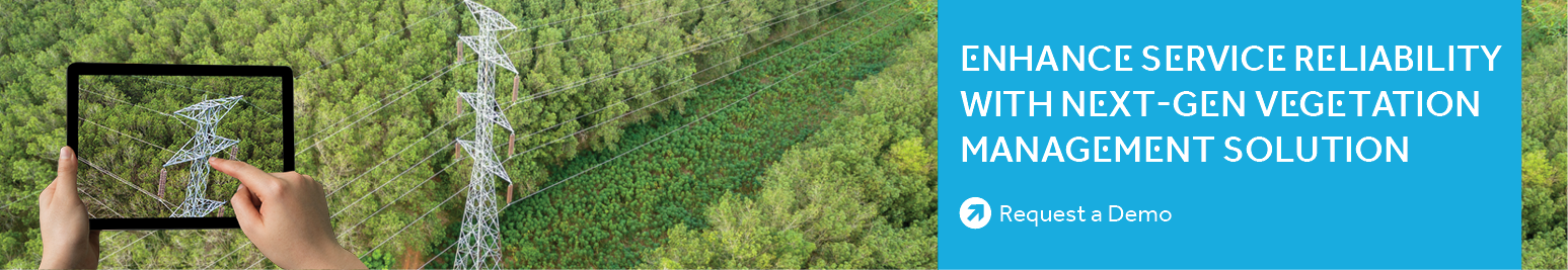
Processing imagery and LiDAR data acquired through various means such as UAVs, fixed-wing aircraft, and helicopters can provide vegetation encroachment insights with location details, reducing the time spent visiting location sites, and lowering the risks for the field crew. During a crisis, when the movement of people is highly restricted, utilities can use readily available satellite data to identify vegetation encroachments and mitigate significant threats.
Prioritize maintenance activities: Utilities can prioritize maintenance activities by leveraging geospatial technology to get encroachment insights and determine their risk levels. Decisions can be made faster with information available at the desktop and shared across departments. An example is trimming only high-risk areas/streets where COVID-19 quarantines or known cases are high.
Optimize field operations: Utilities can also view approximations of vegetation quantity (size, volume, along with imagery) that needs clearing, which helps determine the number of the field crew, equipment, and timeframe required to complete the job. This reduces the need for additional workers, unnecessary field movement, and in turn, improves safety. Additionally, using GIS maps can optimize routes and access points around COVID-19 hot spots.
In the current crisis, electric utilities can leverage geospatial technology in many ways to improve safety for vegetation management teams. Geospatial capabilities can help utilities not just in a pandemic such as COVID-19, but also to minimize field inspections, prioritize operations, and improve efficiency in the post coronavirus era.
Cyient’s Vegetation Management Solution leverages geospatial, artificial intelligence, and machine learning technologies for providing insights on vegetation encroachments with precise location and their threat level. This helps to enhance the safety of field force, improve service reliability, and reduce maintenance costs. Our solution can be made available on both the cloud and on-premise.