-
.jpg?width=1680&height=800&name=Frame%20905%20(14).jpg)
.jpg) GEOSPATIAL
GEOSPATIAL
SERVICES -


Intelligent Engineering Meets Geospatial Innovation
Cyient has been helping government agencies with large scale mapping, base map updates, agriculture mapping, and subsidy claims, spatial intelligence for defence, and land registry digitalization with accurate information. Cyient turns geospatial data into actionable insights for sustainable progress.
30+ years of experience in geospatial solutions with scalable teams across the globe
Advanced GIS capabilities across industries like Government, Utilities & Energy, Mining, Rail, Aero, Telecom, Agriculture & Automotive
Expertise in AI/ML, automation, and high-definition mapping with automation-powered solutions / accelerators
Strategic alliances with technology leaders like ESRI, AWS, and IBM
Transforming Industries with Intelligent
Geospatial Solutions
Cyient's Earth Observation services deliver actionable insights using advanced satellite and remote sensing technologies for improved decision-making.
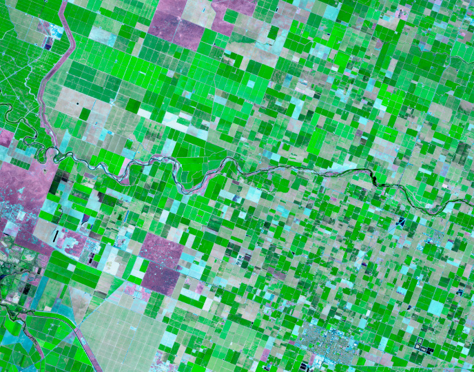
We process multispectral, hyperspectral, and SAR images for environmental, urban, and disaster applications.
Cyient develops 3D GIS models and digital twins for enhanced asset and infrastructure management.
Cyient provides accurate topographic and 3D models for base map updates.
We enable agricultural land use assessments for subsidy compliance.
Our AI/ML solutions automate feature extraction and spatial analysis.
Cyient offers advanced mapping solutions with LiDAR, remote sensing, HD mapping, 3D models for autonomous vehicles, and asset/agriculture mapping to boost decision-making and efficiency.

AI-driven mapping using satellite images to extract features.
LiDAR data acquisition, processing, and feature extraction.
3D GIS and digital twin creation for assets and infrastructure.
Spatial data integration for smarter transportation systems.
Detailed road geometry, lane details, and 3D models.
Cyient provides location intelligence services using geospatial data, GIS, machine learning, and cloud computing to offer real-time, scalable insights for better decision-making.

Expert in address database creation, reverse geocoding, and app development for navigation and G2C businesses.
CyVision enables fast data training with object detection, annotation, and labeling.
IoT solution tracks harmful gas emissions and visualizes them on GIS maps for decision-making.
Road Health Analytics provides real-time condition mapping, insights for repairs, and monitoring.
Mobile apps for field crews and mobile GIS for asset management in utilities.
Platform to connect, monitor, and manage IoT devices and data.
Cyient’s GenAI and Hyper Automation solutions drive productivity and innovation using AI, ML, and automation across industries like energy, utilities, and rail with specialized solutions like PLM, MBSE, and RPA.

Supporting industries with spatial data, technical documentation, and digital transformation.
AI-based solution for extracting data from scanned documents with a user-friendly interface.
Enhancing datasets with context-specific information to improve data quality and LLM/RAG performance.
Ensuring data quality and reliability for generative AI applications with spatial and non-spatial data.
Transformative GenAI-based solutions for data digitalization.
AI-driven data extraction from various sources with an intuitive interface.
Automating and optimizing customer operations across domains with advanced technologies.
Cyient provides GIS visualization services that transform complex geospatial data into actionable insights for industries like utilities, telecom, energy, transportation, and natural resources.

Tailored GIS apps to enhance spatial data understanding.
Ongoing GIS app maintenance to ensure efficiency and user satisfaction.
Combining spatial data from multiple sources for improved decision-making.
Interactive dashboards for visualizing geographic data, trends, and decision-making.
Intelligent Service Frameworks
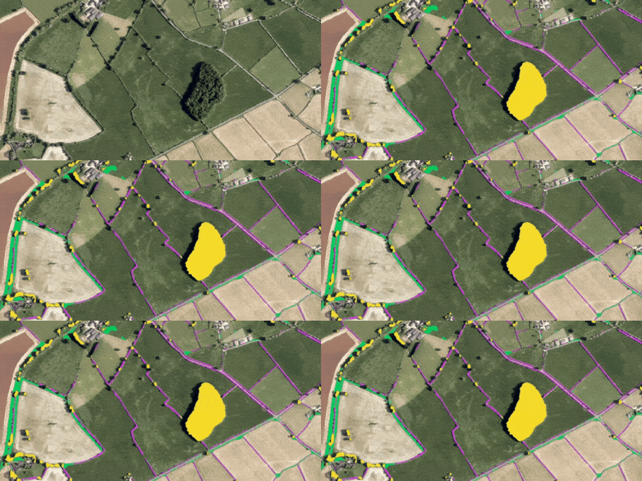
Cyient’s LandSENS framework combines GeoAI-powered mapping, deep learning, and large-scale survey expertise to transform land monitoring and management. From automated feature extraction and change detection to national-scale ecological insights, LandSENS helps governments and enterprises make faster, data-driven decisions for a more sustainable future.

From 3D Smart City Platforms and spatial digital twins to road health analytics and emergency-response modeling, Cyient helps urban leaders modernize governance and maximize sustainability. Make informed decisions, enhance citizen experience, and shape resilient cities with data you can trust.
In the Spotlight

Vegetation Management for SCE, USA
Cyient deployed a LiDAR-based vegetation management solution, integrating predictive analytics to model vegetation growth near utility corridors. This proactive approach minimized power outages during extreme weather, enhancing operational reliability.

Satellite-Based Pipeline Monitoring for Cadent Gas, UK
Cyient developed a cost-efficient satellite image analytics solution leveraging machine learning to monitor pipeline infrastructure. This innovation replaced expensive helicopter surveys, significantly reducing operational expenses while maintaining asset integrity.

5G Inventory Planning for Telus, Canada
Cyient’s cloud-based 5G Inventory Planning (5GIP) platform utilized imagery and machine learning to accurately map pole locations and attributes. This streamlined the deployment of aerial/underground fiber and 5G infrastructure, accelerating network planning and execution.

Sketch2GIS for Vitens, Netherlands
Using Cyient’s Sketch2GIS solution, Vitens digitized 2.5 million drinking water connections at an accelerated rate, surpassing delivery targets by 25%. The enhanced GIS system improved spatial data accuracy, operational efficiency, and regulatory compliance.
Key Partnerships
%20(1).webp?width=328&height=304&name=Frame%20111%20(2)%20(1).webp)
Empowering Industries with Intelligent Solutions & Accelerators
Vegetation Management – CyVAR
CyVAR (Cyient Vegetation Analysis and Reporting) leverages LiDAR data (aerial, drone, or mobile-based) to transform vegetation management for utility operators.
Pipeline
Monitoring
Enhances pipeline monitoring and integrates advanced risk management into existing systems.
Smart
Cataloguer
Automatically identifies document categories using image patterns, organizes files into predefined folders, and extracts content from clear, legible printed text.
Sketch 2 GIS
An open-source app for dynamically capturing utility house service connections with easy matrix-based data entry.
5GIP
Pole location inventory optimized for 5G planning and clustering.
CyText
AI-powered information extraction from scanned documents with a user-friendly interface.
CyChat
NLP chatbot supports text/voice across channels like Alexa, Teams, Web, Telegram, and more.
CyVision
Deep learning-based object detection for remote decision-making and SOP initiation.
CyCAM
Mobile insights with edge-based image analytics and CyChat integration.
CyExtract
Classify, deduplicate, and extract data from historical scanned documents with GenAI.
CyChart
Dynamic program monitoring and reporting with GenAI and data source integration.
Offerings across Industries

- • Largescale mapping
- • Digitalization of land records
- • Emergency services
- • Environmental monitoring
- • Smart Cities

- • Pipeline Monitoring
- • Mid & downstream applications
- • Energy data capture
- • Well data capture
- • Land lease management

- • Infrastructure mapping
- • Stockpile calculation
- • Drone survey
- • Logistics optimization
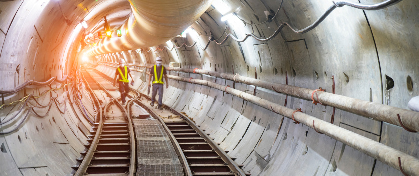
- • Infrastructure mapping
- • Landlease Management

- • Airport mapping
- • Obstacle mapping

- • Coverage area mapping
- • Service qualification
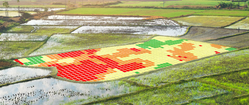
- • Drone survey
- • Mapping & change detection
- • Crop monitoring and analysis

- • HD mapping
- • Annotation & Labelling
Insights
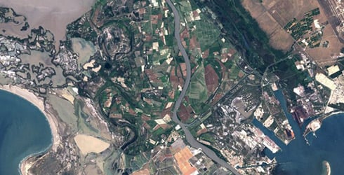
Mosaics to Multi-Sensor Dashboards Shaping the Path to Operational Geospatial Intelligence
This paper traces the evolution of geospatial technology from open-access mosaics in 2021 through fusion-based monitoring in 2023 to integrated multi-sensor dashboards by 2025–26
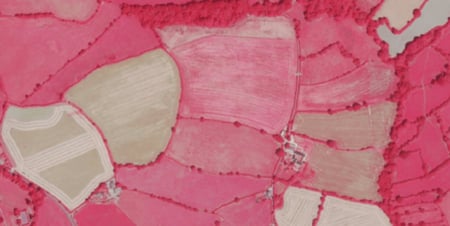
LandSENS - Cyient’s Geospatial Land Intelligence Services
Cyient’s geospatial intelligence services turn automated mapping into continuous spatial insights. Supporting land feature extraction, crop classification, habitat monitoring, change detection, humans-in-the-loop digitisation and national-scale in-field surveys, our LandSENS services empower governments and enterprises with precise and scalable land monitoring.
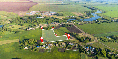
Ecological and Habitat Monitoring at Scale
The Executive Agency of the England needed a national-scale monitoring solution capable of producing accurate, repeatable, and cost-effective agricultural and ecological maps. Traditional approaches—such as field surveys and conventional supervised classification methods were too resource-intensive, slow, and prone to inconsistencies when applied at scale.
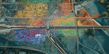
Deep Learning Solutions for Automated Landscape Feature Mapping
Cyient’s LandSENS modules combine advanced GeoAI deep learning mapping models and earth observation data cubes to support targeted client land monitoring requirements across a range of sectors.
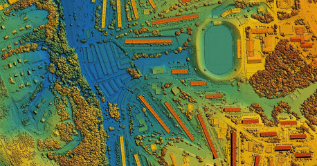
Geospatial Field Inventory Management
Cyient's Smart Hub is a platform-agnostic field GIS solution that enables real-time spatial data collection and inspection updates, enhancing efficiency and decision-making for utilities, telecom, and mining industries.

The Digital Weave of Urban Life with Invisible Frameworks and Visible Future
Urban planning has always mirrored the complexity of human settlements. What has fundamentally changed is the toolkit. Once reliant on static maps and land allocation, planning now leverages real-time intelligence, predictive analytics, and citizen participation.

Simplify your Data Migration, Amplify your Utility's Potential
Your utility network data powers everything, from keeping the lights on to delivering clean water. Ensuring this data moves accurately and securely into a modern system like VertiGIS Networks is critical.

Rewiring the World with GIS: Reflections from Esri UC 2025
Discover key takeaways from Esri UC 2025, including trends in GIS, GeoAI, digital twins, and Cyient’s role in advancing spatial intelligence and utility transformation.

Spatial Intelligence for Utilities
Discover how Cyient leverages spatial intelligence to help utility organizations enhance operational efficiency, asset management, and data-driven decision-making. This brochure, presented at the ESRI User Conference, highlights Cyient’s geospatial capabilities and solutions tailored for the utilities sector.
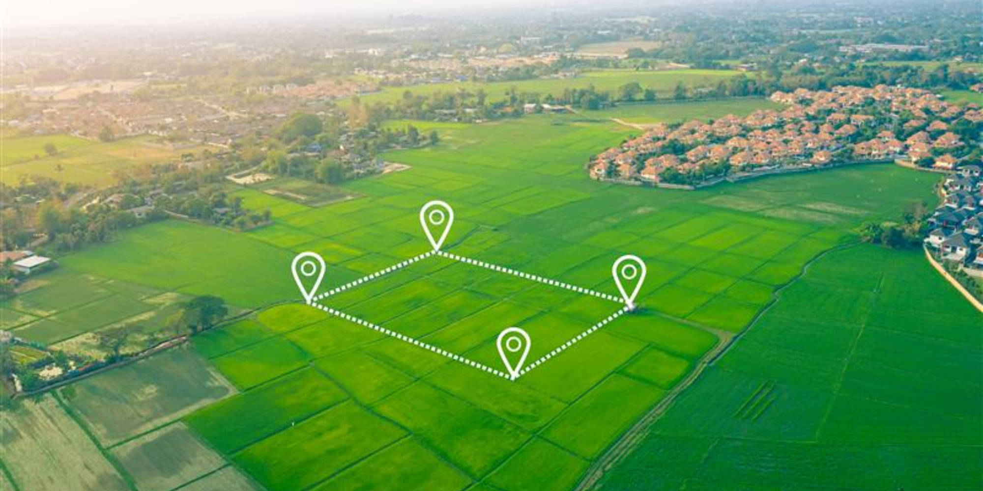
Location-Based Services Are Redefining Field Operations: Trends, Technologies, and Impact
Discover how location-based services are revolutionizing field operations with real-time insights, enhanced productivity, and emerging tech trends.

Empowering Field Operations with GIS-Enabled Location-Based Services
Discover how GIS-enabled location-based services are transforming field operations with real-time insights, efficiency, and better decision-making.
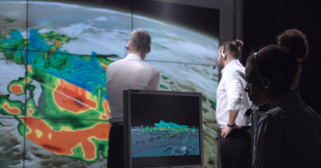
Cyient Provides Support to Tomtom to Deliver Accurate and Up-to-Date Maps for tomtom users Worldwide
Cyient provides innovative geospatial solutions using Earth Observation, LiDAR, and analytics to optimize asset management and support sustainability across industries. With 25+ years of experience, Cyient drives impactful results for sectors like automotive and utilities.

How Geospatial Technology Can Provide a Safe Working Environment for Vegetation Management Teams During the COVID-19 Crisis
The COVID-19 pandemic has made traditional field inspections challenging for vegetation management teams. Learn how geospatial technology enables utilities to monitor remotely, prioritize risks, and optimize operations to enhance safety and efficiency.
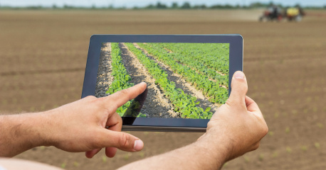
GeoAI in Sustainable Agriculture Supply Chain Management
GeoAI and blockchain revolutionize agriculture by optimizing supply chains, improving transparency, and supporting sustainability through Earth Observation (EO) data and machine learning. Cyient leverages these technologies to enable precision farming, data-driven decisions, and resilient agricultural systems.
Enhancing Water Infrastructure Management Through Vectorization of House Connections for Vitens N.V.
The Vitens House Connections GIS Project, led by Vitens, enhances water infrastructure management using GIS technology to comply with Dutch WIBON regulations. This successful collaboration between Vitens and Cyient focused on improving the exchange of information for underground and aboveground utility networks.
.png?width=774&height=812&name=Master%20final%201%20(1).png)