<iframe src="https://www.googletagmanager.com/ns.html?id=GTM-KQ3FZBL" height="0" width="0" style="display:none;visibility:hidden">
Skip to content
  • Frame 120 (20) Mining_geoscience data management
    GEOSCIENCE DATA
    MANAGEMENT

Revolutionizing Geoscience with Intelligent Engineering: Empowering Data-Driven Discoveries

The geoscience industry faces growing challenges in managing vast, complex data crucial for exploration, mining, and environmental initiatives. Outdated systems, stranded records, and data quality issues hinder decision-making and operational efficiency.

With 13+ years of expertise in geoscience data management, Cyient tackles these challenges by organizing, securing, and standardizing geospatial and non-geospatial data. Our mining technology solutions leverage AI/ML for advanced processing, ensuring seamless integration, real-time accessibility, and actionable insights. Supported by a team of 150+ geologists, we deliver cost-effective, scalable services ranging from logical organization (including reports, spatial datasets, and non-spatial datasets) to managing vector/raster files, lithology, and downhole data. By enabling mining automation, we provide large-scale data digitization, fostering innovation and operational excellence in geoscience.

Deep domain expertise and cost-effective solutions to meet the complex needs of geoscience projects.

Solutions include geocoding, georeferencing, data migration, and map digitization.

Utilizes AI/ML for mining automation and advanced technology solutions.

Deliver innovative, high-quality data management solutions across diverse geoscience projects.

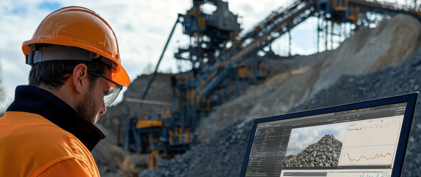
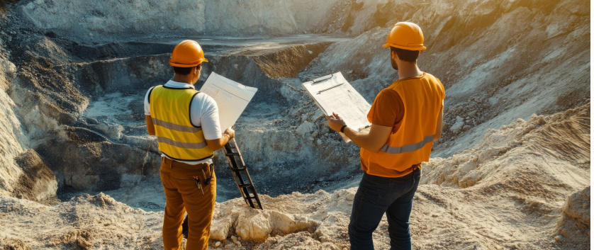
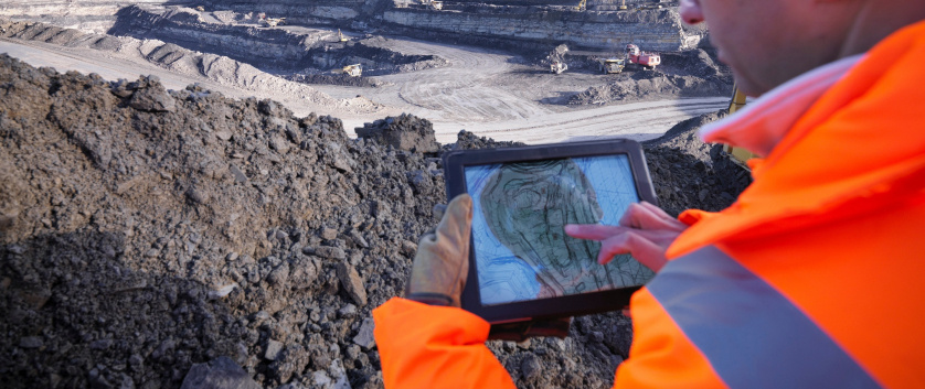
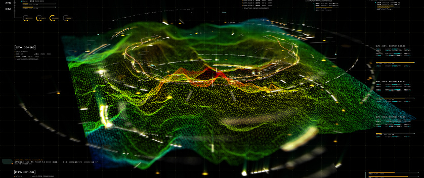
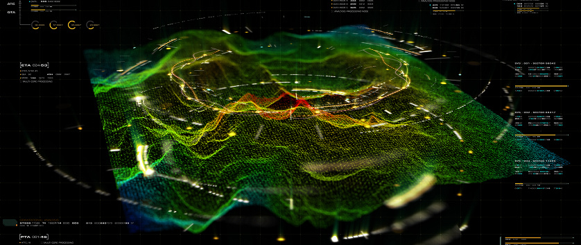
Mining Technology and Geospatial Excellence

Metadata Creation
Mask group - 2025-03-03T142304.670

Provides essential information about data, including its origin, content, structure, and context, enabling users to understand and effectively utilize it.

Geocoding

Involves assigning precise geographical coordinates to reports and datasets, ensuring accurate spatial referencing and reliable geospatial analysis, critical for mining technology solutions.

General Data Extraction
Mask group - 2025-02-14T183011.989

Includes collecting and organizing comprehensive datasets from surface surveys and drilling activities to facilitate streamlined analysis and interpretation.

Geophysical Data Capture
Mask group - 2025-03-01T005238.813

Captures and records geophysical measurements to develop detailed subsurface maps and models for precise geological analysis.

Georeferencing
Mask group - 2025-03-01T005243.340

Aligns spatial data to real-world geographic coordinates, ensuring accurate mapping and effective spatial analysis for various applications, including supporting automation in mining industry workflows.

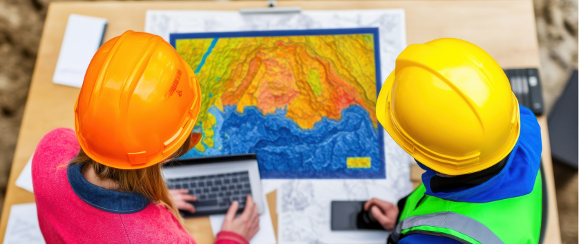
Digitization of Geological Maps
Mask group - 2025-03-01T005248.982

Transforms physical geological maps into high-quality digital formats, enhancing accessibility, enabling detailed analysis, and supporting integration with other geospatial data.

Data Migration into New File Formats
Mask group - 2025-02-14T182644.665

Ensures smooth data migration between file formats, enhancing compatibility with modern systems and improving data accessibility and usability.

Mask group - 2025-03-03T142304.670

Provides essential information about data, including its origin, content, structure, and context, enabling users to understand and effectively utilize it.

Involves assigning precise geographical coordinates to reports and datasets, ensuring accurate spatial referencing and reliable geospatial analysis, critical for mining technology solutions.

Mask group - 2025-02-14T183011.989

Includes collecting and organizing comprehensive datasets from surface surveys and drilling activities to facilitate streamlined analysis and interpretation.

Mask group - 2025-03-01T005238.813

Captures and records geophysical measurements to develop detailed subsurface maps and models for precise geological analysis.

Mask group - 2025-03-01T005243.340

Aligns spatial data to real-world geographic coordinates, ensuring accurate mapping and effective spatial analysis for various applications, including supporting automation in mining industry workflows.

Mask group - 2025-03-01T005248.982

Transforms physical geological maps into high-quality digital formats, enhancing accessibility, enabling detailed analysis, and supporting integration with other geospatial data.

Mask group - 2025-02-14T182644.665

Ensures smooth data migration between file formats, enhancing compatibility with modern systems and improving data accessibility and usability.

Make the shift to
INTELLIGENT ENGINEERING