Enhance the quality, reliability, and performance of your business, assets, and services, and ensure high ROI with our proprietary analytic tools.
Leverage our end-to-end partnership model across your design, build, operate, and maintain phases for faster rollouts at competitive pricing.
Benefit from our 25+ years of engineering experience to integrate advanced geospatial solutions into existing systems and processes.
How did we help a leading European gas distribution company seamlessly monitor their pipeline network for damage from construction activity?
By leveraging regularly captured satellite data and combining it with machine learning and human surveillance activities, we developed a solution that alerted possible risks to the underground pipeline.
Harness the power of the mapping revolution

Monitor earth events continuously without the need for a targeted survey with our automated imagery processing solutions and insights.

Create a highly detailed digital twin and minimize site visits and safety risks with our data acquisition, mapping, data processing, and feature extraction offerings.

Improve operations and enable informed decision-making by combining our expertise in designing, building, and integrating geospatial solutions with your business processes.

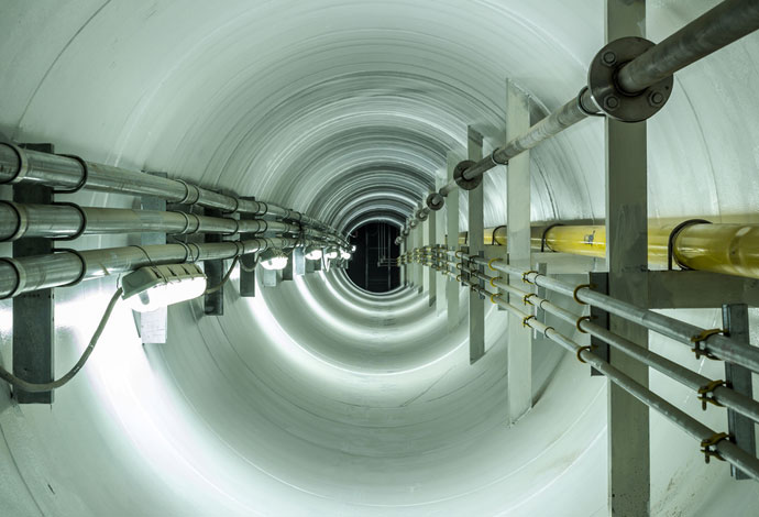
Minimize asset damages, project delays, costs, and complexities of subsurface infrastructure with insights on exact depth and configurations of buried assets.

Capture high-resolution spatial data using different platforms to meet varying requirements of project areas of all sizes.

Location Intelligence - Key To Sustainable Development
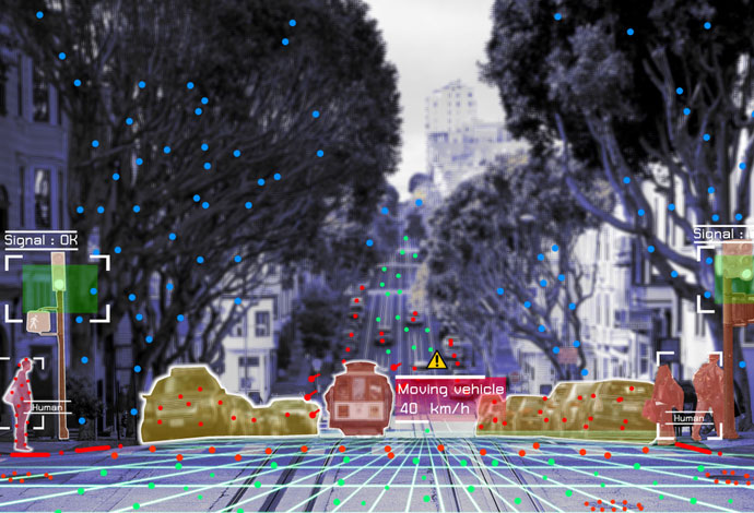
Edge Analytics
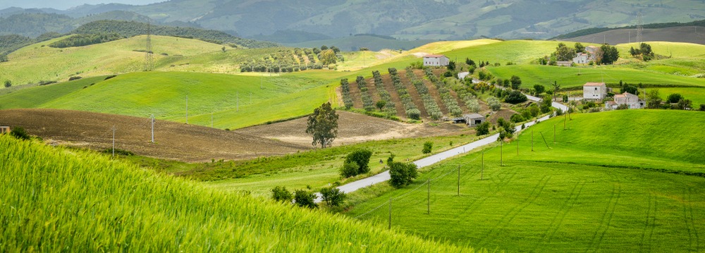
GeoAI in Crop Variety Analysis
Scalable Mapping and Modelling Solutions for Better Decision-Making
Smart Geospatial Solutions for Enhanced Decision-Making
Enabling Smart Parking for Improved User Experience